
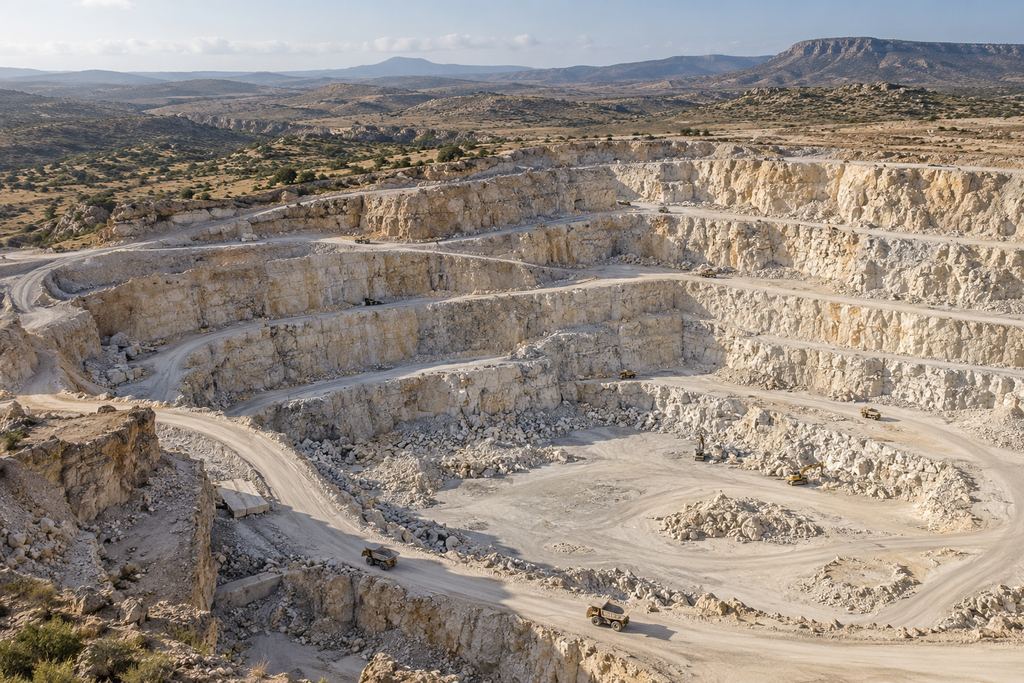
Mining and quarries
- Needs covered
- Stockpiles, platforms, haul roads, visible faces, changes in extracted areas.
- Expected output
- Volumes, orthophotos, 3D models and monitoring report.
Drone surveying · Mining · Quarries · Construction
Measurements and plans for mines, quarries and construction sites. Based in Ait Melloul, we work across Morocco, from field survey to file delivery.
ICapture
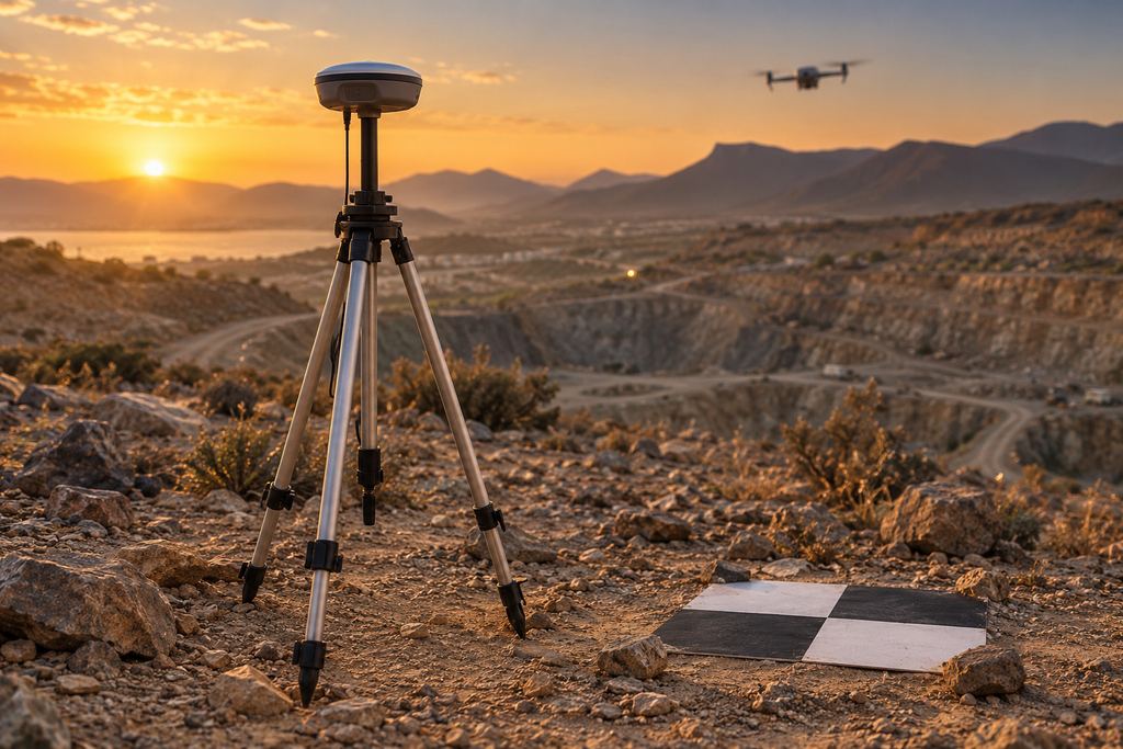
A prepared flight plan, high image overlap and ground control points measured with GNSS RTK: every square metre is photographed and tied in.
IIProcessing
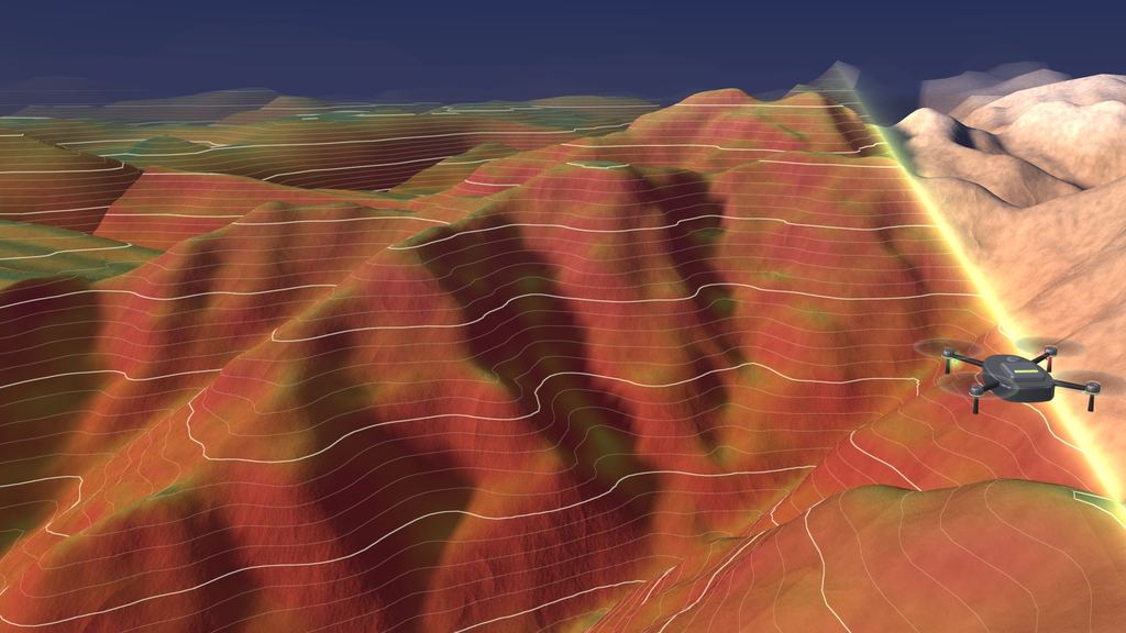
Photogrammetry rebuilds the terrain in 3D: a dense point cloud, then a mesh, georeferenced in your project’s coordinate system.
IIIMeasurement
Contour lines, elevation colours and sections computed on the digital model. Here, the Toubkal massif from public SRTM data: a demonstration, not a SKY SURVEY survey.
IVDelivery
Georeferenced orthophoto, DTM/DSM, point cloud, DWG/DXF plans, volume table and summary report.
SKY SURVEY · Ait Melloul
From fieldwork to delivery, we provide the measurements your teams need to plan works, monitor quantities and document a site.
The drone pilot and surveyor coordinate image acquisition and GNSS RTK ground control.
Coordinate system, required accuracy and check points are defined for the intended use.
CAD plans, GIS data, volume tables and a summary report, as required by the survey.
Services
Document construction, measure stockpiles or prepare a design: choose the data your project needs.
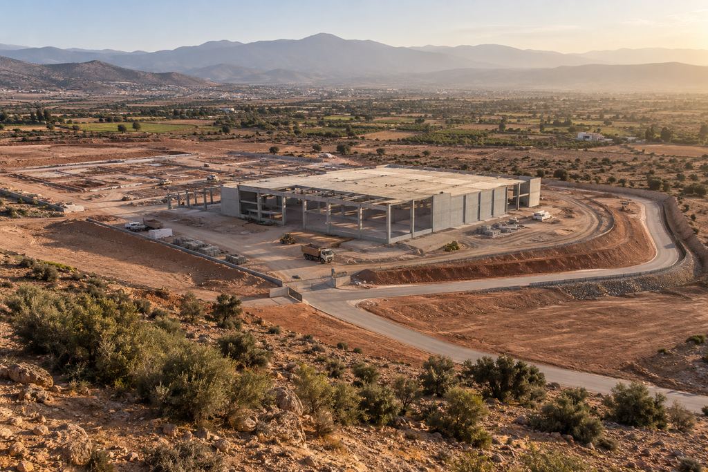
Wide site views and targeted aerial images to document conditions, track works and prepare presentations.
Explore the service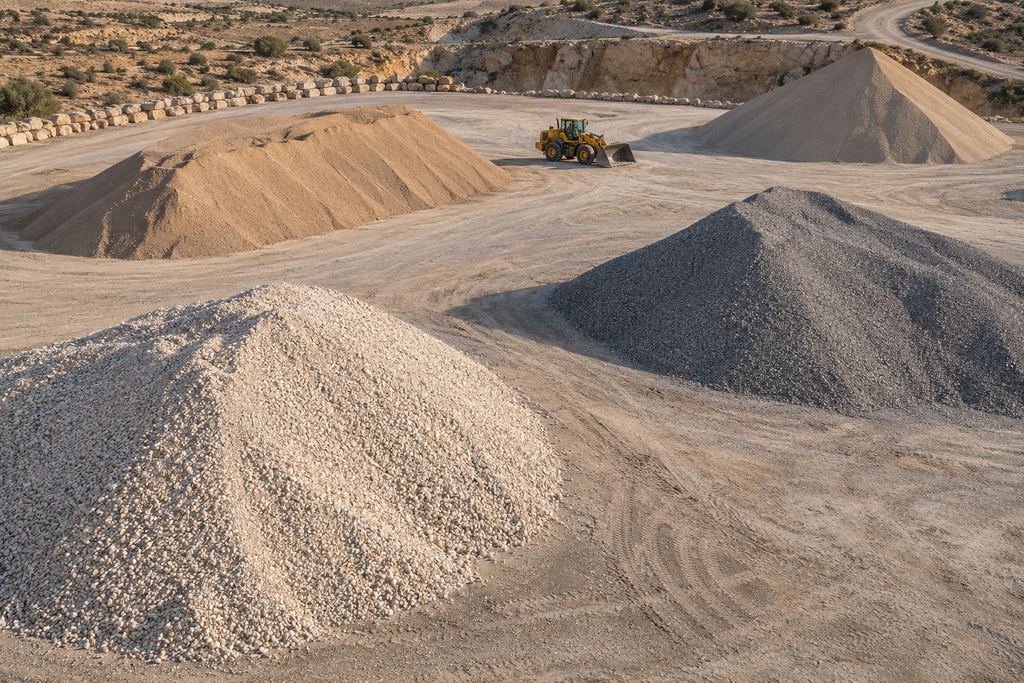
Volumes for individual stockpiles, cut and fill calculations, and quantity comparisons between surveys.
Explore the service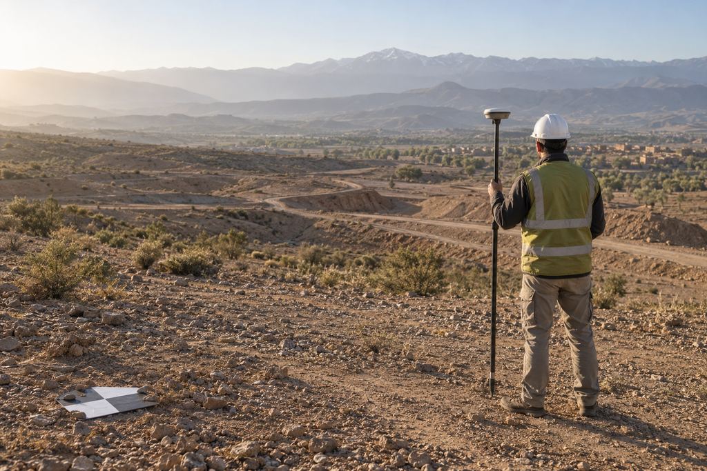
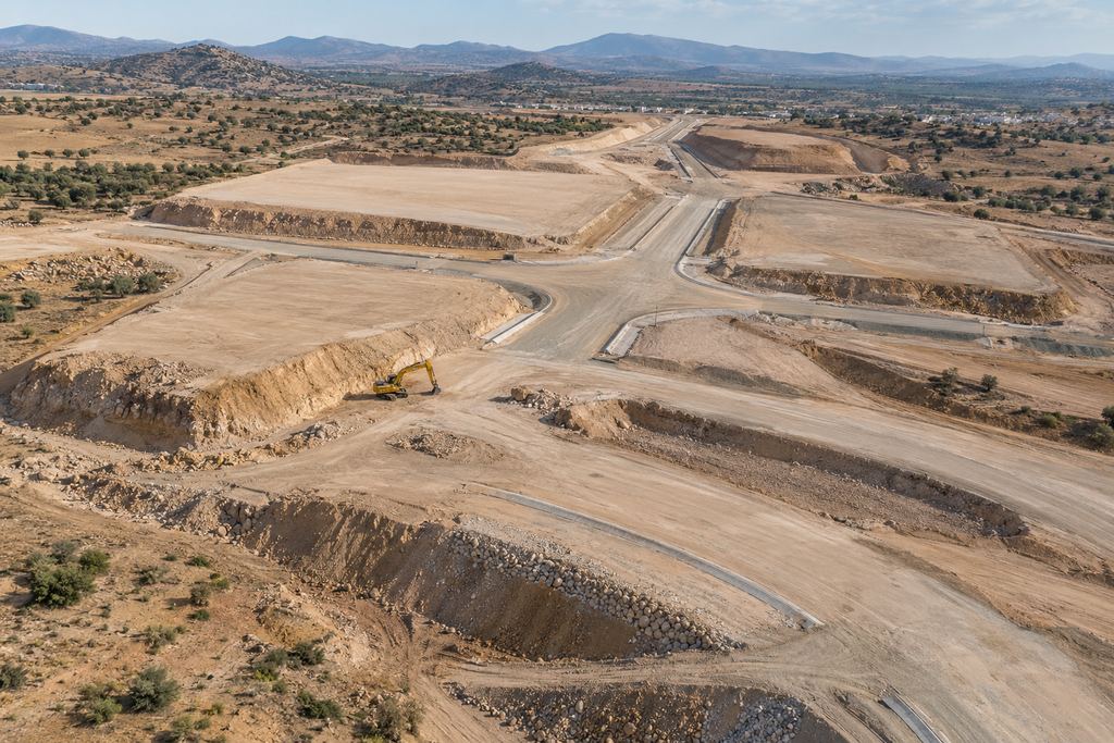
Georeferenced orthophotos, contour lines, plans and profiles for design and construction.
Explore the service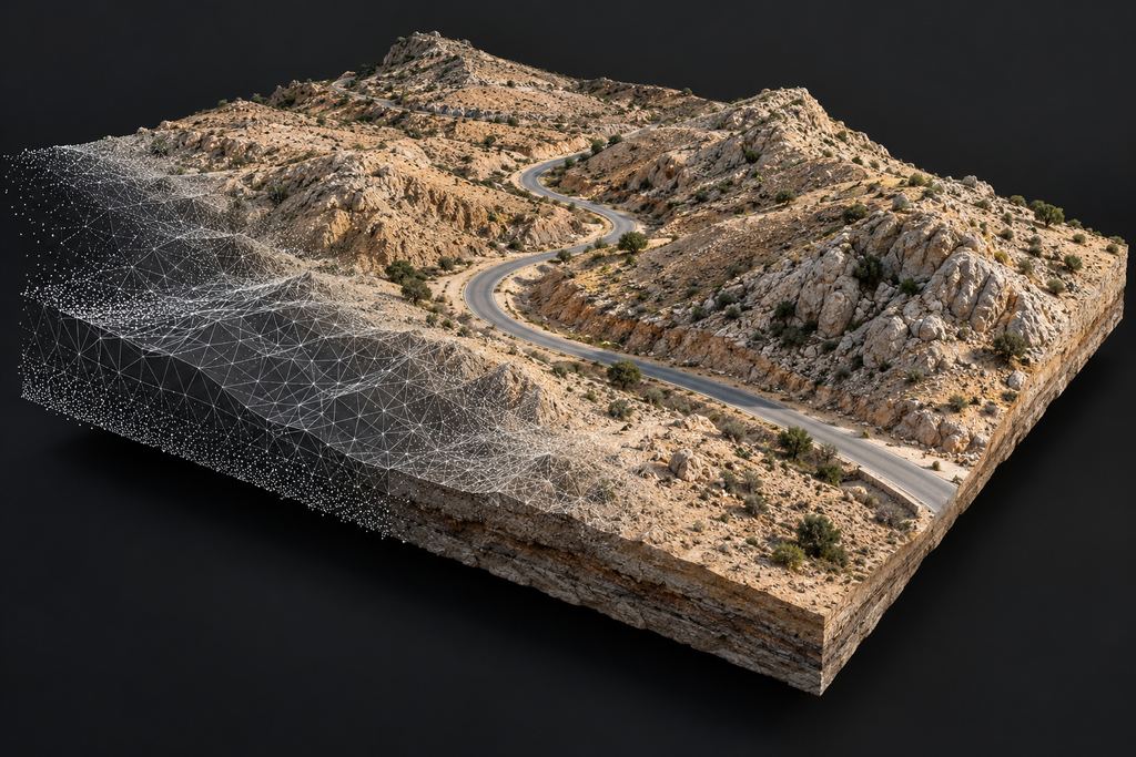
Point clouds and textured models to analyse terrain, extract profiles and share a site in 3D.
Explore the serviceSectors
Stockpile inventory, operational monitoring and progress surveys each require a different approach.
Method
A simple, controlled process you can follow at every stage. The method in detail
Objective, area, deliverables and timeline.
Safety, weather, flight plan, ground control points.
Drone flight and field checks.
Stitching, georeferencing, calculations.
Consistency, volumes, files, review.
Report, files and presentation of results.
Why trust us
No promises to take on faith: each commitment below tells you where you will be able to see it for yourself.
Start with a pilot mission on a priority site: you assess the method and deliverables before committing.
Propose a pilot missionOur founder worked within a major Moroccan mining group: operating constraints, HSE rules and what technical teams expect are familiar to us.
Verifiable from the first scoping call
Every survey is checked on independent check points, and the horizontal and vertical RMSE is stated in the report.
Verifiable in the report
DJI Matrice 4E and Mavic 3 Enterprise with mechanical shutters, GNSS RTK base/rover and a total station for ground control.
Verifiable on site
Objective, area, deliverables, formats, coordinate system and timeline are set out in writing and approved by you.
Verifiable in the proposal
HSE preparation, coordination with site operations, stop criteria and prior flight authorisation, as regulations require.
Verifiable before every flight
Controlled handling of your data, distribution limited to the people you designate, and structured archiving.
Verifiable after delivery
Testimonials
Our clients speak anonymously, at their request: keeping their sites confidential is part of our commitment. Translated from French.
“The 3D model of the site really impressed our teams, and delivery was fast. Above all, this is a team that understands the constraints of a mine site: coordination with our operations, compliance with HSE rules and deliverables our surveyors can use straight away.”
“We needed reliable inventories at every monthly close. SKY SURVEY delivers stockpile volumes within a few days, with a clear orthophoto that makes discussions between production and accounting easier.”
“Responsive and rigorous. Every survey arrived in time for the site meeting, with cut and fill quantified zone by zone. It made our progress reviews with the client much simpler.”
“The survey was completed quickly on hard-to-reach terrain, and the accuracy report let us use the data in our design work with confidence.”
“High-quality images, delivered quickly and well organised. We documented the condition of our facilities without tying up our teams or working at height.”
Working together
Three simple ways to work together, depending on how often you need us.
A specific need: photography, orthophoto, volume survey, visual inspection or baseline survey.
Repeated surveys to track progress, compare volumes and document change.
Agreed terms, faster mobilisation, standardised deliverables and a lasting relationship.
The drone photographs the site from many angles; photogrammetry rebuilds a 3D model of the surface, from which we calculate the volume of a stockpile, cut or fill against a reference surface. The result is delivered as a volume table, an annotated map and a report.
Depending on your need: georeferenced orthophoto, photos and video, 3D model, point cloud, DTM/DSM, plans and profiles (PDF, DWG/DXF), volume tables and a PDF/Excel report. Formats are agreed at scoping so they fit your GIS, CAD and reporting tools.
Data is controlled with GNSS RTK (base and rover) and ground control points, then checked: coordinate system, model consistency, volume review. The expected accuracy is discussed at scoping, based on the site and how the data will be used.
Usually not: one of the advantages of drones is measuring without stopping operations. The flight is coordinated with site activities, with a defined take-off area and stop criteria if there is any risk.
SKY SURVEY is based in Ait Melloul, in Greater Agadir (Souss-Massa region), and travels to clients’ sites across Morocco, subject to the necessary authorisations.
Our fleet includes DJI Matrice 4E, Mavic 3 Enterprise and Mavic 2 Pro drones, together with a GNSS RTK base/rover and a total station for ground control. Processing relies on photogrammetry, CAD and GIS software.
The simplest way is a pilot mission on a priority site: we scope the objective, area, deliverables and timeline, and you judge the results for yourself. Recurring needs can then move to periodic monitoring or a framework agreement.
Your project
Share the location, survey area and required deliverables. We define the survey scope and site arrangements with you.