
Method
A six-step method, from scoping to delivery
Large clients expect a method as much as a result. Here is how every SKY SURVEY mission runs, and what you approve at each step.
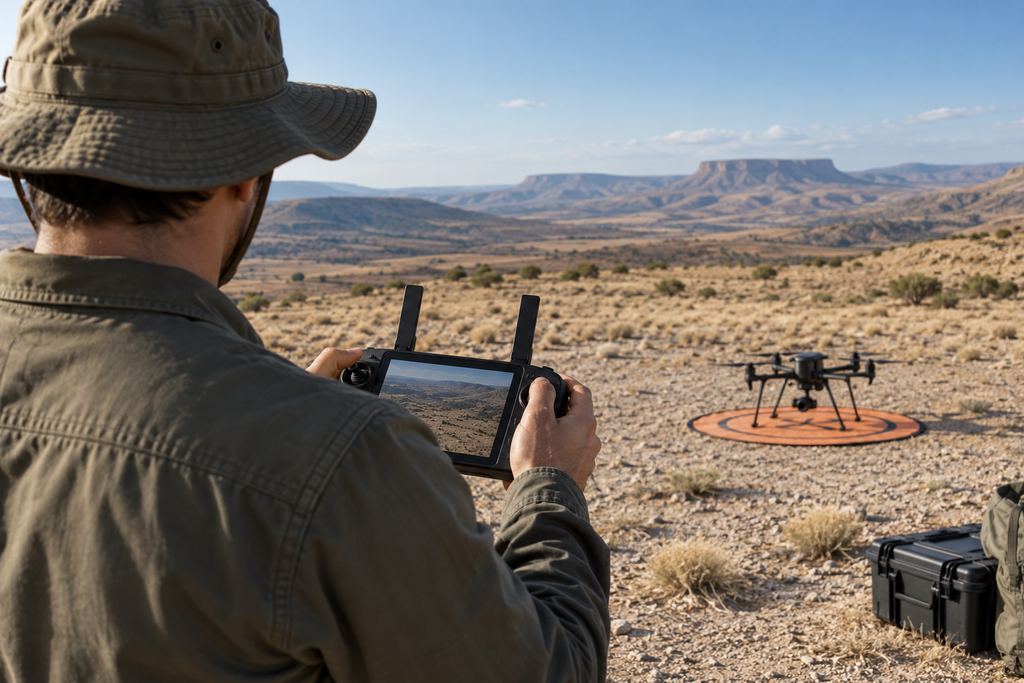
Data capture · field checks
The process
The stages of your survey.
Guiding principle: every mission must produce a deliverable that is verifiable, understandable and directly useful for decision-making.
- 01 · ScopingTogether we set the objective, area, deliverables, formats, coordinate system and timeline. You approve a written proposal.
- 02 · PreparationSafety analysis, weather, flight plan (ground sampling distance, overlaps), flight authorisation request and placement of control and check points. Coordination with the site manager.
- 03 · Data captureDrone flight according to the plan, control and check points measured with GNSS RTK or a total station, on-site checks before leaving.
- 04 · ProcessingPhotogrammetric stitching, georeferencing, production of orthophotos, models and calculations.
- 05 · Quality controlErrors on check points (RMSE), model consistency, coordinate system, review of volumes and files before anything is shared.
- 06 · DeliveryReport, files in the agreed formats and presentation of results to your teams.
Corporate client standards
Quality, safety, confidentiality.
Three standards that apply to every mission, whatever its size.
-
Quality
Coordinate system checks, ground control points, consistency checks, volume review and file traceability.
-
Safety
HSE preparation, weather, take-off area, coordination with site activities, PPE, stop criteria and incident management.
-
Confidentiality
Controlled handling of client data, restricted distribution, structured archiving and respect for the constraints of sensitive sites.
In Morocco, professional drone use requires prior authorisation from the competent authorities, and flying over certain areas (airports, military or sensitive sites) is prohibited. Every survey also follows the site’s own rules.
Getting started
What we need to scope your mission.
The clearer these points are, the faster we can propose a suitable mission:
- the location and type of site (mine, quarry, construction site, bare land…);
- the objective: show, measure, model, monitor over time;
- the expected deliverables and formats, if you know them;
- the desired timeline and any access or safety constraints.
We often suggest starting with a pilot mission on a priority site, so you can judge the method and deliverables for yourself.
Your project
A proposal tailored to your site.
Share the location, survey area and required deliverables. We define the survey scope and site arrangements with you.