
Topographic survey
Drone topographic surveys, orthophotos and digital terrain models
A georeferenced image of your site and terrain models controlled with GNSS RTK: the basis for your studies, construction drawings and terrain analysis.
- Orthophoto
- DTM / DSM
- Contour lines
- DWG / DXF
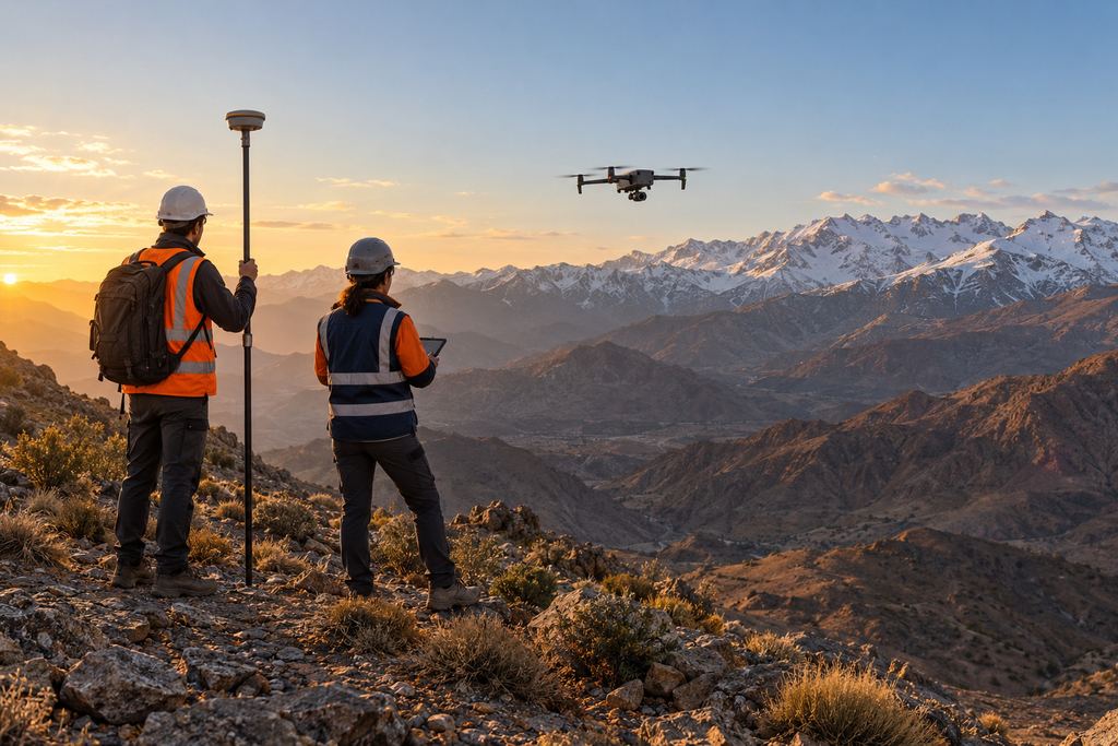
GNSS RTK · ground control
Deliverables
Plans, orthophotos and terrain models.
Every deliverable is georeferenced in your project’s coordinate system and delivered in the formats of your GIS and CAD software.
I Orthophoto
Distortion-free, georeferenced image of the site, usable as a base map to measure distances and areas.
II DTM / DSM
Terrain and surface models for terrain analysis, slopes, profiles and volumes.
III Contour lines
Terrain reading at the interval that suits the project, ready to add to your drawings.
IV Plans and profiles
Topographic and footprint plans, long and cross sections, in PDF and DWG/DXF.
Drones and surveying
Aerial acquisition and ground survey control.
A drone covers large areas quickly, with a measurement density that point-by-point surveying cannot match. But drone data is only accurate if it is properly controlled: that is the role of ground control points, measured with GNSS RTK base/rover or a total station.
Our team combines a drone pilot and a surveyor/geomatics specialist. The site is prepared before the flight, control points are placed and measured, and the result is checked for consistency before delivery.
Where the drone cannot see the ground (dense vegetation, covered elements, vertical details), measurements are completed on the ground so the plan stays accurate.
- Feasibility studies and preliminary designAn up-to-date base map and usable terrain data from day one.
- Pre-construction baselineA dated reference you can rely on if questions arise.
- Footprint plans and area calculationsPlots, platforms, extracted areas.
- Roads, tracks and linear worksLong and cross sections from the terrain model.
FAQ
Topography and orthophotos: your questions.
What is the difference between a DTM and a DSM?
A DSM (digital surface model) describes everything the drone sees: ground, buildings, stockpiles, vegetation. A DTM (digital terrain model) keeps only the bare ground. The DSM is used for volumes and surface analysis, the DTM for contour lines, profiles and earthwork design.
Does an orthophoto replace a topographic survey?
It complements it. The orthophoto provides a measurable image of the whole site; the survey brings the reference accuracy and the details the image does not show. Together, they produce a plan that is both complete and accurate.
Which coordinate system do you deliver in?
Your project’s system, agreed at scoping: for example the Moroccan Lambert projection for the relevant zone, or WGS 84 / UTM. The coordinate system is checked before delivery.
Your project
A proposal tailored to your site.
Share the location, survey area and required deliverables. We define the survey scope and site arrangements with you.