Example missions

Example missions: from request to deliverable

Four missions representative of our work, described step by step. They are typical scenarios that show how we work; our clients’ data remains confidential.

01Volume measurement · Mining and quarries

Monthly stockpile inventory at a quarry
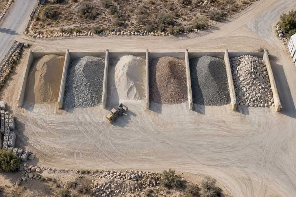
Overhead view of an aggregate stockyard

Context

An operating aggregate quarry produces several materials stored in piles on a platform. Management must produce an inventory at each monthly closing, and visual estimates or truck counts leave differences that are hard to explain.

Objective

Get a reliable volume per stockpile every month, comparable with the previous month, without stopping loading.

Method

  • Scoping with the operator: list of stockpiles, definition of each pile’s base, density of each product.
  • Permanent control points placed and measured with GNSS RTK around the platform.
  • The same flight plan for every survey, flown with a high sun or overcast sky to limit shadows, at a similar time each month.
  • Volume calculation per stockpile, residual checks and comparison with the previous month.

Deliverables

  • Table of volumes and tonnages per stockpile, with the difference from the previous month.
  • Annotated orthophoto with the outline and volume of each stockpile.
  • One-page summary for management and files for the technical team.

What the client gets

A measured, traceable monthly inventory, comparable from one month to the next, that underpins discussions between production, finance and management.
02Construction and earthworks · Volume measurement

Earthworks monitoring, from baseline to handover

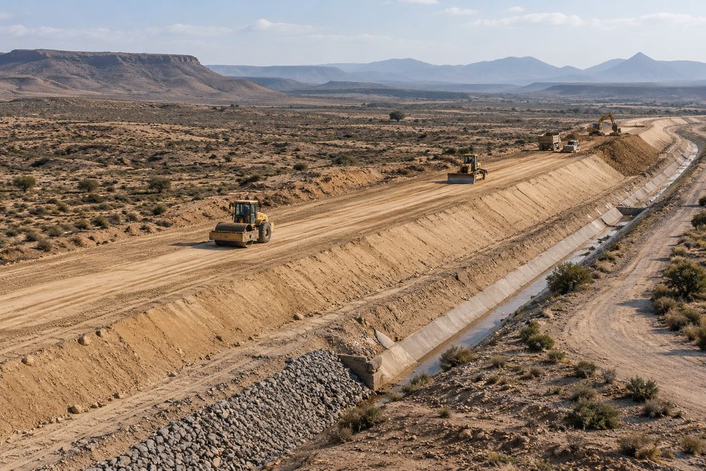
Road embankment earthworks and drainage

Context

A contractor is building the platform for a future industrial building. The project owner wants to track progress and the quantities of cut and fill between two site meetings.

Objective

Set a reference before works, then measure at each stage what has been achieved against the design.

Method

  • Baseline survey before stripping: orthophoto, DTM and dated photos.
  • Integration of the design surface supplied by the engineers, in the same coordinate system.
  • Repeated surveys at key stages, from the same photo viewpoints.
  • Calculation of cut and fill achieved and remaining, area by area.

Deliverables

  • Georeferenced baseline: orthophoto and DTM.
  • Cut and fill tables for each stage.
  • Difference maps between as-built ground and design.
  • Dated photo coverage for site meetings.

What the client gets

A measurable history of the works, shared by the project owner, the engineers and the contractor, that grounds progress reviews in verifiable data.

03Topography and orthophoto · 3D modelling

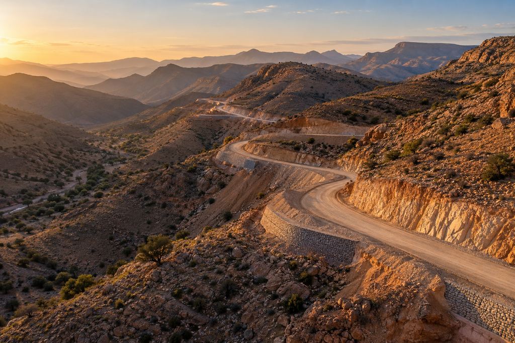
Topographic survey of a mountain track

Context

An engineering consultancy must design the upgrade of an access track several kilometres long in mountainous terrain. The relief is steep and some sections are hard to reach on foot.

Objective

Quickly obtain a continuous terrain model along the alignment to study profiles and earthwork volumes.

Method

  • Control points measured with GNSS RTK along the corridor, at high and low points alike.
  • Flights section by section, with increased overlap in steep areas.
  • Additional ground survey in wooded or hidden sections.
  • Production of the DTM, contour lines, and long and cross sections.

Deliverables

  • Orthophoto of the corridor.
  • DTM and contour lines in DWG/DXF.
  • Long and cross sections.
  • Accuracy report with differences on check points.

What the client gets

A complete topographic base to design the alignment and estimate earthworks, without multiplying days of walking surveys on difficult ground.

04Aerial photography

Inspection and aerial coverage of an industrial site

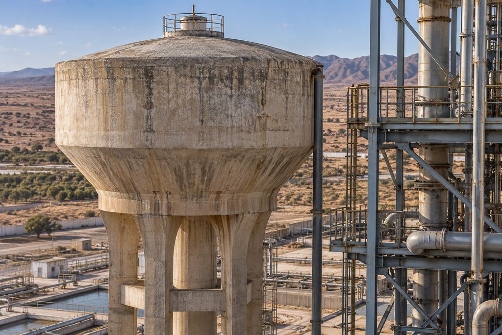
Aerial view of concrete and steel structures

Context

An operator needs to check the condition of roofs, slopes and elevated structures, and document the site for a technical file and for communication.

Objective

See hard-to-reach areas up close without a lift or scaffolding, and build a dated visual record.

Method

  • Coordination with the HSE manager: flight zones, times, site rules.
  • Close-up shots of the areas to inspect, from several angles.
  • Overall views and video to present the site.
  • Sorting, locating and annotating images by area.

Deliverables

  • Annotated photo file for each inspected area.
  • Aerial views and presentation video.
  • Dated, organised archive, reusable on future visits.

What the client gets

A precise visual condition record to decide on interventions, and quality images to present the site, without putting crews at height.

Your project

A proposal tailored to your site.

Share the location, survey area and required deliverables. We define the survey scope and site arrangements with you.