
About · Ait Melloul
Drone surveying and geomatics in Ait Melloul
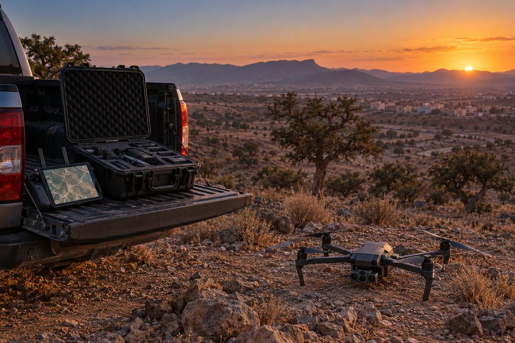
SKY SURVEY is a drone surveying company based in Ait Melloul, in Greater Agadir, Morocco. We support mines, quarries, contractors, engineering consultancies and project owners with usable field data.
30.33° N · 9.50° W · Ait Melloul
What we do
Acquisition, measurement and delivery.
For executives, project managers and technical leads: fast, clear and verifiable data.
I Observe
Clean aerial photos and video to showcase and document sites.
II Measure
Stockpiles, platforms, cut and fill, areas and changes over time.
III Deliver
Orthophotos, 3D models, reports, tables and technical files.
Resources
Equipment, software and organisation.
The drone is part of a complete chain: field work, control, processing and delivery.
Drone fleet
- DJI Matrice 4E
- DJI Mavic 3 Enterprise
- DJI Mavic 2 Pro
Surveying
- GNSS RTK base / rover
- Total station
- Ground control points
Software
- Photogrammetry
- CAD / GIS
- 3D modelling and volumes
Team
- Drone pilot
- Surveyor / geomatics specialist
- Processing and reporting
We coordinate aerial acquisition, ground survey control and data processing as one survey.
A word from the director
Our approach to fieldwork.
A plan, an aerial image or a 3D model must answer a concrete need. That conviction guides our work at SKY SURVEY: understand your project before choosing the technical means to support it.
Our ambition is to give you a clear reading of the terrain, with deliverables your teams can use. That takes listening, rigorous preparation and constant attention to data quality, from capture to delivery.
I want every collaboration to rest on direct dialogue and clear commitments. Through SKY SURVEY, we want to put drone technology to work for well-understood projects and better-informed decisions.
Working together
Ways of working together.
Start with a pilot mission, then build a lasting collaboration.
One-off mission
A specific need: photography, orthophoto, volume survey, visual inspection or baseline survey.
Periodic monitoring
Repeated surveys to track progress, compare volumes and document change.
Framework agreement
Agreed terms, faster mobilisation, standardised deliverables and a lasting relationship.
Your project
A proposal tailored to your site.
Share the location, survey area and required deliverables. We define the survey scope and site arrangements with you.