
Aerial imagery
Drone aerial photography and visual inspection
Useful images, not just beautiful ones: present a site, document change, inspect hard-to-reach areas and produce clean material for communication or reporting.
- High-resolution photos
- Video
- Before / during / after
- Visual inspection
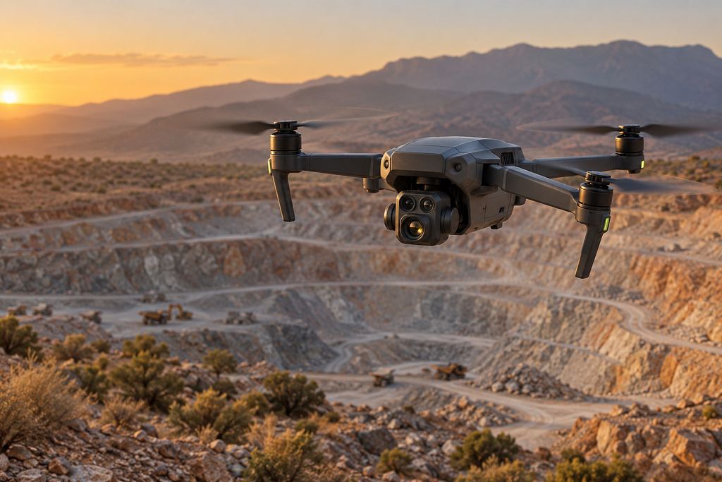
Aerial imagery · quarry
What we deliver
Site photography, video and documentation.
Aerial photography lets you present a site, follow an operation and produce clean material for communication or reporting, with a dated record of every visit.
- High-resolution photos and presentation videosVertical and oblique views, framed around what you need to show.
- Before / during / after construction coverageThe same viewpoints from one visit to the next, for unambiguous comparison.
- Visual inspection of hard-to-reach areasRoofs, slopes, quarry faces and structures, without exposing your teams.
- Material for meetings, tenders and reportingImages selected, named and ready to drop into your documents.
- Dated visual archive, by project or by siteA sorted history you can find when a question comes up.
Use cases
Communication, inspection, monitoring.
-
Communication
Showcase a project, an industrial site or a completed build to your clients, partners and funders, with sharp, well-framed images.
-
Visual inspection
Get a close look at a roof, slope, face or structure without scaffolding or a cherry picker, and spot the areas that need attention.
-
Monitoring
Build a dated visual history from the same viewpoints, to compare progress from one survey to the next and support your meetings.
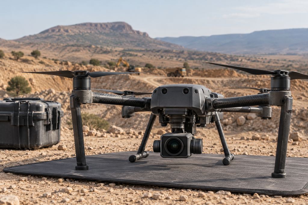
Preparation
Planning the aerial imagery.
Before the flight, we agree with you what the images must show and who they are for: management, a client, a tender panel or a maintenance team. That sets the angles, the altitude, the time of day and the delivery format.
For monitoring, viewpoints are recorded and repeated at every survey. Images stay comparable, and the site’s progress can be read at a glance.
If you also need measurements, the same flight can produce a georeferenced orthophoto or a volume calculation.
FAQ
Aerial photography: your questions.
What is the difference between aerial photography and an orthophoto?
Aerial photography shows the site as you see it, often from an oblique angle, to communicate or inspect. An orthophoto is a stitched image corrected for distortion and georeferenced: you can measure distances and areas on it and use it as a base map.
Can you repeat the same shots at every visit?
Yes. For construction or operations monitoring, capture positions are recorded and repeated at every survey so that before, during and after images are directly comparable.
How are the images delivered?
Photos and videos are selected, named and sorted by date and area, then delivered in standard formats (JPG, MP4), ready to use in your reports and presentations.
Your project
A proposal tailored to your site.
Share the location, survey area and required deliverables. We define the survey scope and site arrangements with you.