
Volume measurement
Drone volume surveys: measured, traceable quantities
Stockpile volumes, cut and fill, platforms and multi-date comparisons: know your quantities with clear, traceable visual evidence, without stopping your operations.
- Stockpiles
- Cut and fill
- Platforms
- Multi-date
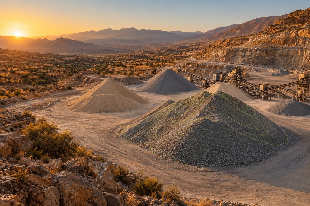
Aggregate stocks · aerial view
What we measure
Stockpiles, cut and fill.
Wherever material is extracted, stored or moved, a drone volume survey gives a reliable quantity and the visual evidence to back it up.
- Stockpiles and material heapsAggregates, ore, soil, sand: pile by pile or area by area.
- Cut, fill and earth movementsCompared with natural ground or a design surface.
- Earthwork platformsChecking levels and quantities placed.
- Change between two surveysWhat came in, went out or moved between two dates.
- Differences and summary reports for managementThe key figures, readable on one page.
The calculation
How a drone volume survey is calculated.
Photogrammetry turns hundreds of photos into a dense 3D surface. The volume is calculated between that surface and a reference surface, then checked before delivery.
Photogrammetry flight
The drone covers the site with a high overlap between images, following a prepared flight plan.
Ground control
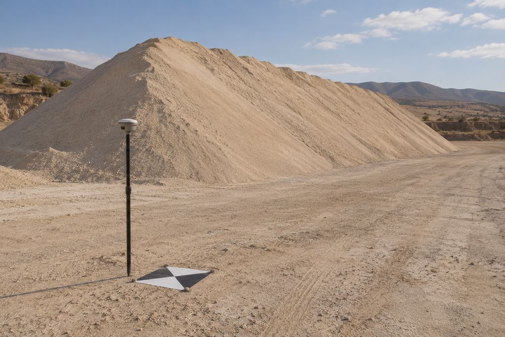
Data is controlled with GNSS RTK and ground control points to be accurate in position and height.
Surface and reference
The surface model is produced and compared with the reference: natural ground, platform, pile base or previous survey.
Calculation and checks
Volumes are calculated, checked and reviewed, then delivered as a table, annotated map and report.
Client value: know your quantities with clear, traceable visual evidence.
Typical deliverables
Volumes, reference surfaces and report.
I Volume table
Quantities by stockpile, area or date, with differences between surveys. Excel and PDF.
II Annotated map
The site orthophoto with the outline and volume of each stockpile, so every figure can be located.
III 3D model
The measured surface, to visualise shapes and check calculation boundaries.
IV Summary report
Method, references, results and differences, presented for management.
Why a drone
A surface model for volume calculations.
A conventional survey measures a limited number of points on a stockpile; the irregular shapes between them are interpolated. The drone measures the entire surface, which reduces uncertainty on complex piles.
Nobody has to climb the stockpiles or walk between machines: the flight is coordinated with site activity, which keeps running. And every measurement leaves a dated visual record, useful when a question arises about an inventory or a progress claim.
For regular inventories, surveys are repeated at the frequency of your reporting: see our approach for mining and quarries and for construction and earthworks.
FAQ
Volume surveys: your questions.
What surface is the volume calculated against?
The reference surface is agreed with you at scoping: a pile base rebuilt from the surrounding ground, natural ground before works, a design surface or a previous survey. It is what gives the volume its meaning, so it is documented in the report.
Is drone volume measurement reliable?
Reliability rests on ground control (GNSS RTK and control points), enough overlap between images and a check of the result: model consistency, coordinate system and volume review. The expected accuracy is discussed at scoping according to how the figures will be used.
How often should stockpiles be measured?
Usually at the frequency of your reporting: monthly, quarterly or at each closing. On construction sites, we measure at key earthwork stages. Periodic monitoring or a framework agreement lets us schedule these surveys in advance.
Can you measure while the site is operating?
Yes, that is one of the main advantages of drones. The flight is coordinated with operations (take-off area, machine traffic, stop criteria) so work is not interrupted.
Your project
A proposal tailored to your site.
Share the location, survey area and required deliverables. We define the survey scope and site arrangements with you.