
Sector · Construction and earthworks
Drone construction progress monitoring and earthworks
Baseline surveys, progress monitoring, cut and fill and site documentation: visual evidence and measurements for your site meetings and progress reviews.
- Baseline
- Progress
- Cut and fill
- Documentation
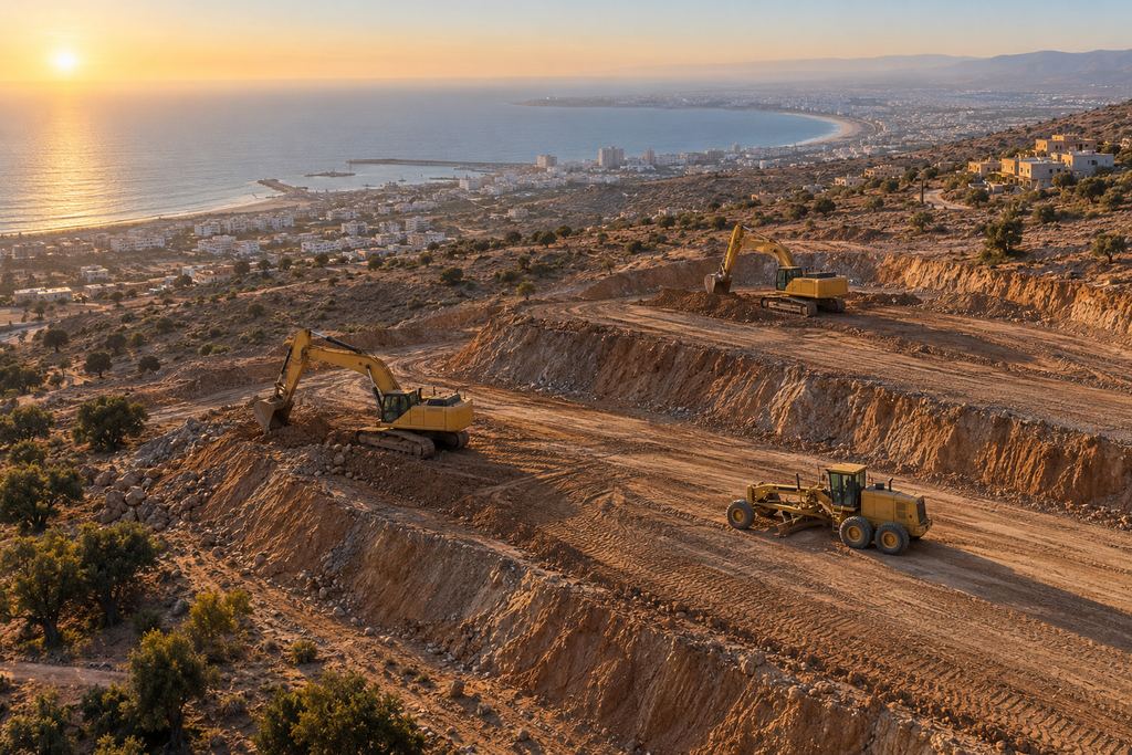
Construction · progress monitoring
One site, several dates
Before, during and after construction.
A visual, measurable history built at the pace of the project, that everyone can review in meetings.
Baseline survey
Orthophoto and reference terrain model, dated photos of the site and its surroundings. The basis for your design and earthwork calculations.
Progress monitoring
Repeated surveys from the same viewpoints, cut and fill volumes, comparison with the design surface.
Final documentation
Orthophoto and 3D model of the completed works, photo coverage, structured project archive.
Needs covered
Progress surveys and earthwork calculations.
- Baseline condition of the siteA dated reference before the first excavation.
- Progress monitoringWhat has been done since the last meeting, shown and measured.
- Cut, fill and earth movementsQuantities calculated against natural ground or the design.
- Site documentationAnnotated maps, dated photos and meeting material.
Who it is for
Documents delivered to your teams.
-
Project owners
A clear view of progress, reporting material and decision support, without travelling to the site at every stage.
-
Engineering consultancies
Up-to-date base maps and terrain models ready for analysis and design.
-
Contractors
Tracking of volumes, footprints and deviations on site, to manage crews and justify quantities.
FAQ
Construction monitoring: your questions.
What is a drone baseline survey?
It is a complete survey of the site before works: georeferenced orthophoto, terrain model and dated photos. It serves as the reference for design, earthwork calculations and, later, for comparing progress.
Can drones be used to calculate earthworks?
Yes. Comparing the surface measured by drone with natural ground or the design surface gives the cut and fill volumes achieved, presented in a table and on an annotated map.
How often should a site be flown?
Usually at the pace of site meetings or key stages: earthworks, foundations, structure, handover. The frequency is set at scoping and can change as the project evolves.
Your project
A proposal tailored to your site.
Share the location, survey area and required deliverables. We define the survey scope and site arrangements with you.