
Sector · Mining and quarries
Drones for mining and quarries: volumes, monitoring and reliable data
Stockpiles, platforms, haul roads, visible faces and changes in extracted areas: measure and document your operation without interrupting it.
- Stockpile inventory
- Faces and benches
- Haul roads and platforms
- Periodic monitoring
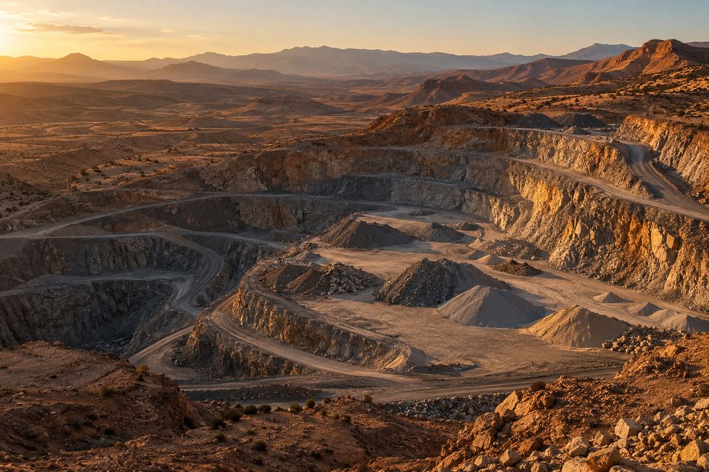
Open-pit mine · aerial survey
Needs covered
What operators ask us to measure.
On a mine or quarry, quantities move every day. The drone provides a complete, dated picture of the site at the frequency of your reporting.
- Ore, aggregate and waste stockpilesInventory pile by pile, compared with the previous survey.
- Platforms and haul roadsGeometry, gradients, footprints and road condition.
- Visible faces and benchesA 3D reading of the pit geometry, without approaching the faces.
- Changes in extracted areasAreas and volumes extracted between two dates.
Expected output
Volumes, orthophotos, 3D models and monitoring reports.
For management, a quick read of quantities and how they change. For technical teams, files ready for mine planning and control.
-
Volumes and differences
Volume table by stockpile and area, differences from the previous survey and an annotated map to locate every figure.
-
Orthophoto and 3D model
A georeferenced image and 3D model of the site, to overlay on your mine plans and permit boundaries.
-
Monitoring report
A dated summary, comparable from one survey to the next, for management meetings and reporting.
On site
Fieldwork coordinated with site operations.
The drone measures stockpiles from the air: nobody climbs the piles, nobody approaches the faces. The flight is coordinated with site activity, with a defined take-off area, the required PPE and stop criteria if there is any risk.
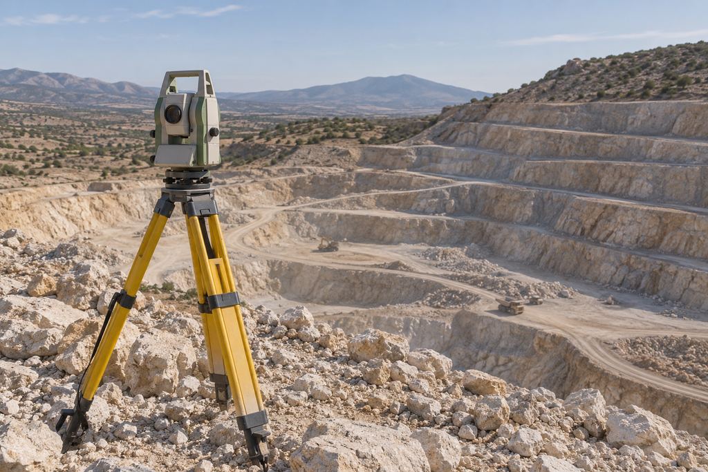
Ground control points are measured with GNSS RTK so every survey is tied in the same way. That is what makes differences between surveys truly comparable.
Your site data is handled confidentially: restricted distribution, structured archiving and respect for the constraints of sensitive sites.
FAQ
Mining and quarries: your questions.
Can stockpiles be measured during operations?
Yes. The flight passes over the stockpiles, coordinated with machine traffic and site rules. Operations continue during the survey.
How are two surveys compared?
Each survey is tied to the same references (GNSS RTK and ground control points) and calculated with the same outlines and reference surfaces. Volume and area differences are then presented in a table and on a map.
Does our site data stay confidential?
Yes. Client data is handled under controlled conditions: distribution limited to agreed recipients, structured archiving and respect for the specific constraints of sensitive sites.
Your project
A proposal tailored to your site.
Share the location, survey area and required deliverables. We define the survey scope and site arrangements with you.