
Drone services
Drone services for design and construction.
Aerial photography, volume measurements, topographic plans and 3D models. We agree the deliverables and file formats for your site and software.
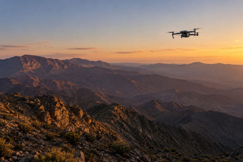
Aerial view · terrain
The offer
The data your project needs.
Need to show a site? Aerial photography. Need a quantity? Volume measurement. Designing or setting out? Topography and orthophoto. Analysing and sharing in 3D? 3D modelling. One mission can combine several deliverables.
-
 I
IAerial photography
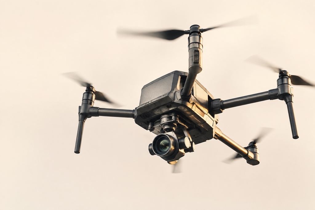
Showcase, inspect and keep a clear record of your projects: high-resolution images, video, visual inspection and project documentation.
Aerial photography -
 II
IIStockpile and volume measurement
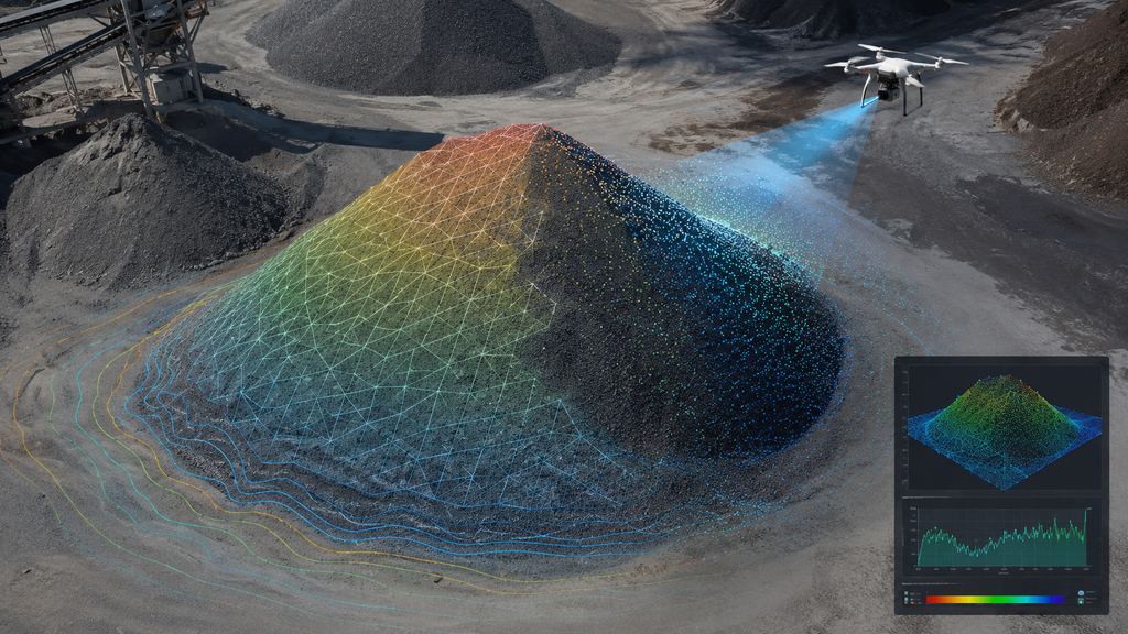
Stockpile volumes, cut and fill, platforms and multi-date comparisons, delivered with a table, annotated map and report.
Volume measurement -
 III
IIITopography and orthophoto
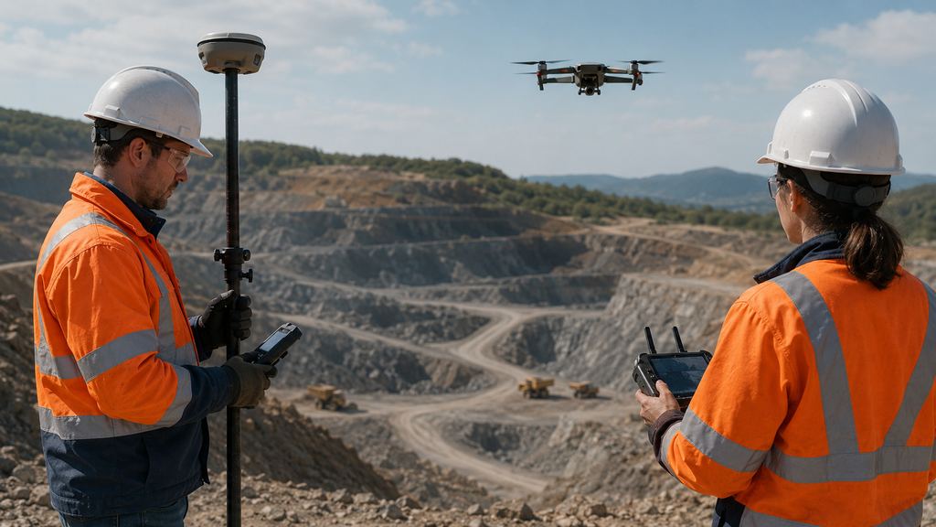
Georeferenced orthophotos, DTM/DSM, contour lines, plans and profiles, controlled with GNSS RTK on ground control points.
Topography and orthophoto -
 IV
IV3D modelling
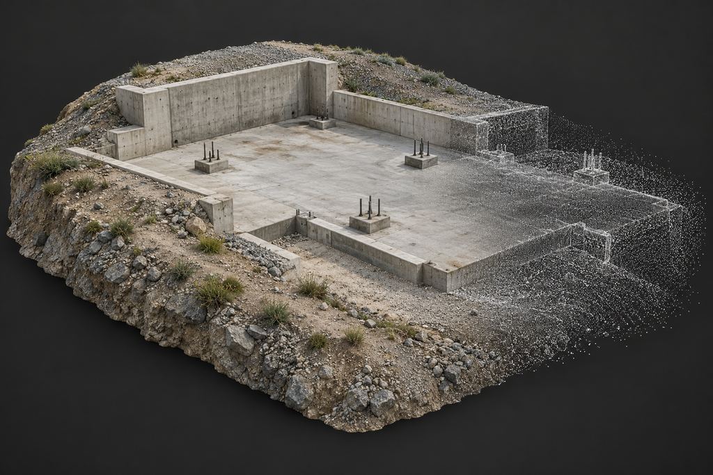
Point clouds, textured meshes, profiles and extractions: from aerial imagery to material your project teams can use.
3D modelling
What you receive
Deliverables and formats.
The state of the site, a measurement, a model: every deliverable is designed to be read by the decision-maker and reused by the engineer.
| Deliverable | What it is for | Usual formats |
|---|---|---|
| Orthophoto | Georeferenced image of the site, usable as a base map; area and distance measurements. | GeoTIFF, PDF |
| DTM / DSM | Terrain and surface models for analysis, profiles, contour lines and volumes. | GeoTIFF, DWG/DXF |
| Point cloud | 3D base for measurement, extraction and visualisation. | LAS/LAZ |
| Plans and profiles | Material for design, tendering and construction. | PDF, DWG/DXF |
| Volume table | Quantities by stockpile, area or date, with differences between surveys. | Excel, PDF |
| Photos and video | Communication, visual inspection, dated archive. | JPG, MP4 |
| Summary report | A quick read of the field facts for management and meetings. |
Formats are confirmed at scoping, based on your GIS, CAD and reporting software.
FAQ
Before launching a mission.
Can several services be combined in one mission?
Yes. A single flight can produce an orthophoto, a 3D model and a volume calculation, as well as presentation photos. We define all deliverables at scoping so the data capture is planned accordingly.
How is the price of a drone mission set?
It depends on the size and accessibility of the site, the deliverables requested, the expected accuracy and how often surveys are repeated. Describe your need and we will send you a tailored proposal.
Does anything need to be arranged on site before the flight?
We need a contact person on site, the site’s safety rules and a take-off area. Preparation (weather, flight plan, ground control points) is handled by our team.
Your project
A proposal tailored to your site.
Share the location, survey area and required deliverables. We define the survey scope and site arrangements with you.