
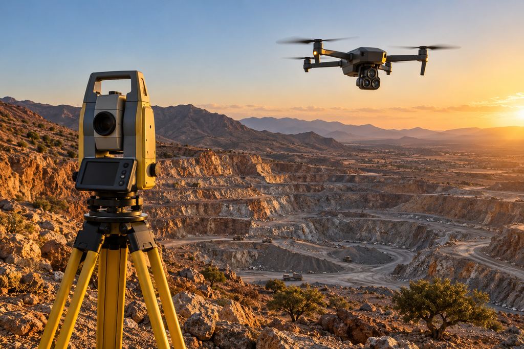
Two ways to measure the ground
A ground survey, with a total station or GNSS RTK, measures points chosen one by one by the surveyor: building corners, road edges, inverts, tops and toes of slopes. Each point is very accurate, but their number is limited by the time spent on site.
A drone survey photographs the whole area, then photogrammetry derives millions of points, a surface model and an orthophoto from the images. The result is a continuous description of the ground, but only of what the camera can see.
Side-by-side comparison
| Criterion | Drone (photogrammetry) | Ground survey |
|---|---|---|
| Area covered | Tens of hectares per day | Small areas, narrow corridors |
| Measurement density | Continuous surface, millions of points | Selected points, limited density |
| Accuracy | A few centimetres with good control (1 to 3 GSD) | Centimetre to millimetre |
| Under vegetation | Ground not visible | Measurement possible under cover |
| Hazardous areas | Measured remotely | Physical access required |
| Visual record | Dated orthophoto and 3D model | No image of the site |
| Setting-out | Not possible | Yes: staking out, setting out structures |
When the drone is the obvious choice
- Quarries, mines and stockpiles: regular volumes without climbing piles or approaching faces.
- Large sites and feasibility studies: complete relief and an up-to-date orthophoto in little time.
- Construction monitoring: comparable successive states, with a dated image at each stage.
- Hazardous or hard-to-reach areas: working faces, unstable slopes, roofs.
When a ground survey is still essential
- Setting-out and staking of structures, alignments and boundaries.
- Areas under dense vegetation or under a structure: photogrammetry only reconstructs what the camera sees. Airborne LiDAR can reach the ground through gaps in the foliage, but not under a fully closed canopy.
- Fine details: utilities, manholes, thresholds, building footings.
- Very high-precision checks, such as structural monitoring.
The right answer: combine both
On most projects the best solution combines both methods. The surveyor measures control and check points with GNSS RTK or a total station, which secures the drone model’s georeferencing. The drone covers the area. The ground survey fills in what the camera cannot see.
That is how SKY SURVEY works: a drone pilot and a surveyor-geomatics engineer work together on every survey.
Your need
- Drone
- Continuous volumes and relief
- Large areas
- Hazardous areas
- Dated image of the site
- Both
- Control from ground points
- Ground infill
- Contractual volumes
- Ground survey
- Setting-out, staking
- Ground under dense vegetation
- Fine detail, utilities
- Structural monitoring
Five questions to decide
- How large is the area to cover?
- Do I need a continuous surface (volumes, relief) or precise points (setting-out)?
- Is the ground visible from the air?
- Does the site have hazardous or inaccessible areas?
- Do I need a dated image of the site to communicate or archive?
Sources
- Pix4D, relative and absolute accuracy of drone mapping
- Pix4D, number, distribution and accuracy of GCPs
Manufacturer figures and published orders of magnitude: the accuracy of a given project is demonstrated on its own check points.
Our topographic survey and orthophoto service · Prepare a quote request